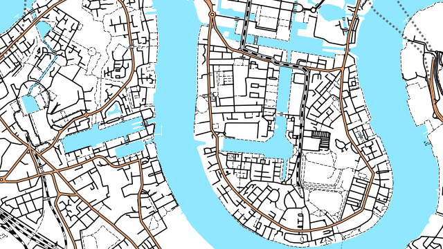
OpenOrienteeringMap is an automatically generated map of the world, based on the OpenStreetMap dataset but styled for use in informal orienteering competitions.
The style here is the “Street-O” style, a minimalistic network-style map as used for street orienteering. The map is created on-the-fly using Mapnik, a map creation engine.
Medium: Web and print.
Acknowledgements: Data from OpenStreetMap, CC-By-SA OpenStreetMap and contributors.
Current status: Online for the UK. A new version of the user interface is in development.