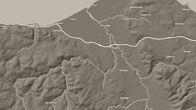
Using the SRTM (Shuttle Radiographic Topological Mission) data from NASA, and roads and placenames from OpenStreetMap, it is a relatively straightforward process to create a shaded relief map. The map is produced using the GDAL raster manipulation tools, with the labels and roads produced in Mapnik.
The sample here is of a region in north Wales.
Acknowledgements: Relief data from NASA’s SRTM. Contextual data from OpenStreetMap, CC-By-SA OpenStreetMap and contributors.