Thickening the streets of west London proportionally based on the linear density of shoplifting crimes recorded along them.
(Work in progress.)
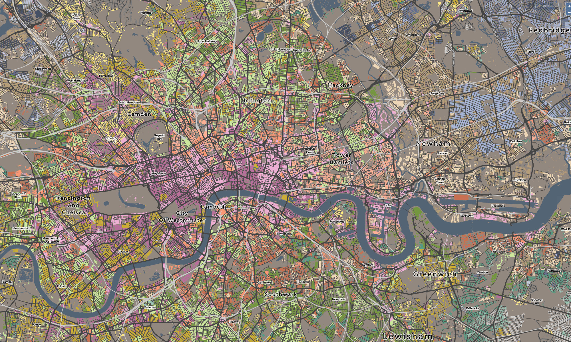
Spatial Data Visualisation Portfolio
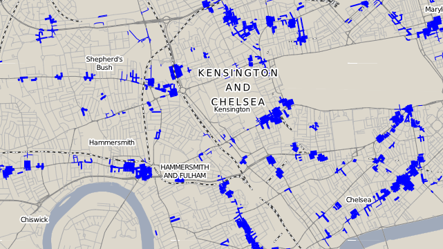
Thickening the streets of west London proportionally based on the linear density of shoplifting crimes recorded along them.
(Work in progress.)